

WILDFLOWER FLOURISHES AND FLOPSSONORAN DESERT: Baja California (mostly Vizcaino region)
The major wildflower localities featured in this section are: (8) The Bahia de Los Angeles region, (7) The Calamajue region. The Gulf Coast of northern Baja California is extremely arid most of the time, with droughts interrupted by occasional deluges from passing hurricanes (as in 1973). An entire year with no rain is not unusual, and note the three-year drought from 1974 to 1976, 3 mm in 3 years. 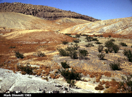
Some sites are so arid that even creosote bush, the most drought- tolerant plant in North America, grows only in drainages. This photo is on Isla San Luis (Islas Encantadas north of Bahia San Luis Gonzaga, which apparently missed most of the rain that fell on Bahia de Los Angeles that year). Bahia de Los Angeles rainfall in inches
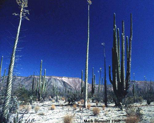
Montevideo Canyon, ca. 20 miles inland from L.A. Bay. The boojum is the tallest known at 81 feet (24.7 m) tall. Compare with 1998 photo below. 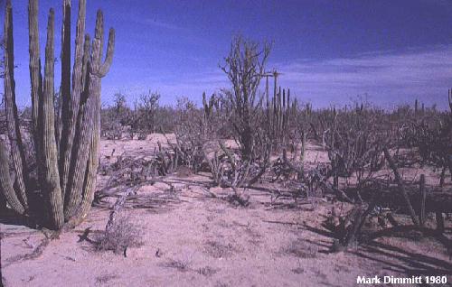
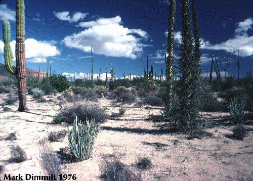
The vegetation of this sandy plain on the road to El Arco is almost all large succulents and trees; smaller shrubs and succulents cannot survive the frequent prolonged droughts. Compare with 1998 photos of the same location.
� = Hurricane Octavio * Rainfall data seem to be unavailable (there is no permanent weather station at this site). 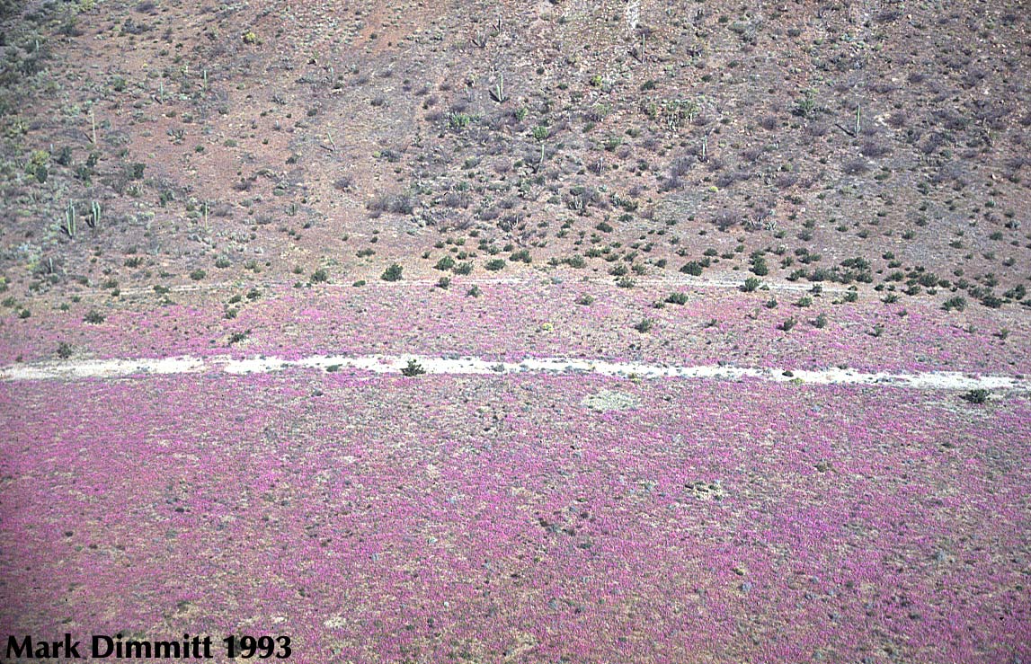
 Though there are no rainfall data, the landscape shows that ample rain fell in 1993. This site is inland from Bahia de Los Angeles near the junction with the road to San Borja. Compare with images of this site in soggy 1998.
øHurricane Nora #Thanks to Antonio Resendiz and Jeff Seminoff, researchers who had a weather station this year. 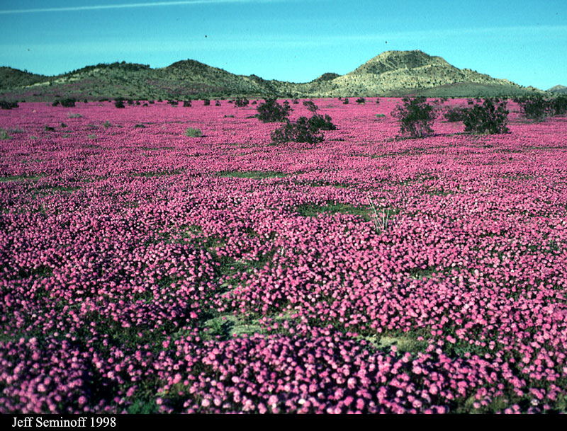
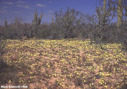
A dry lake bed north of the road to Bahia de Los Angeles near the junction with the road to San Borja. This was taken in January at the peak of the bloom of sand verbena (Abronia villosa). As you can see, hurricanes are not bad for natural communities. 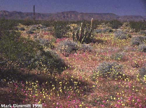
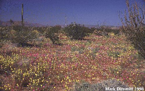
By March the sand verbena was fading near L.A. Bay but was replaced by a sun cups (Camissonia sp.) and other annuals. 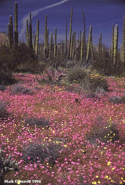
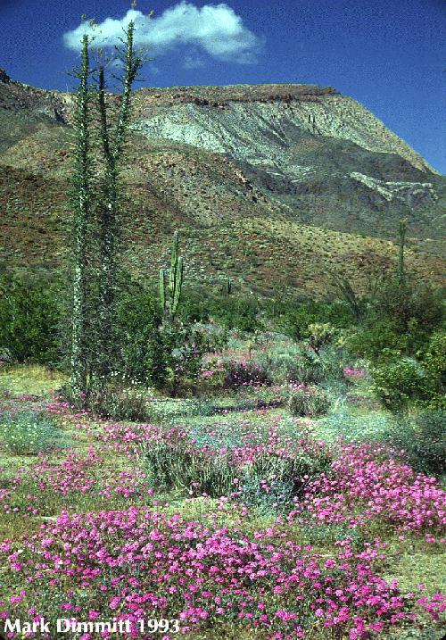
Montevideo Canyon in March, where the annual flowers were so dense in places that you couldn't see the ground (or the rattlesnakes). This canyon is the location of the tallest known boojum seen in the 1980 image above. It was known to be alive in the mid 1990s but could not be found in 1998, probably a casualty of Hurricane Nora. 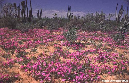
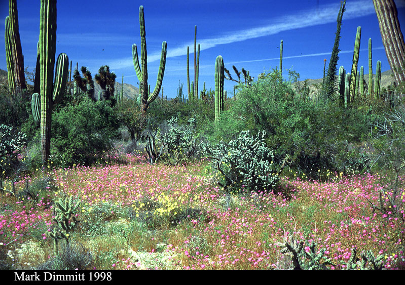
A sandy plain on the road to El Arco; compare with 1980 photo above. The patch of nearly pure sand verbena (Abronia villosa) and sun cups (Camissonia sp.) were only 100 feet apart. 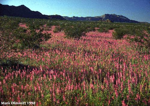
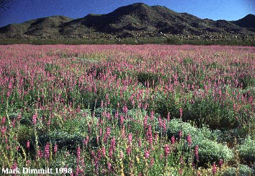
On the road to the Sierra Calamajue was a huge field of lupines. The one resident of this spot (Coco of Coco's Corner) said that Hurricane Nora in September 1997 brought the first rain since 1995. 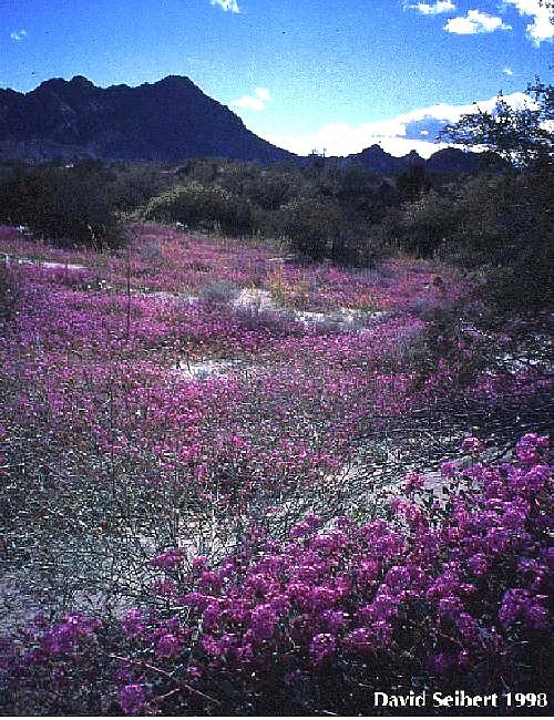
The sand dunes south of Laguna Salada supported carpets of flowers for the first time in many years.
|